Charting Course
Paddling the Chicago River
Photography by Ryan Calacsan · Words by Erica Zazo
Mountain Gazette
Mile 0
The Launch
We inflated our Kokopelli kayaks at River Park in Lincoln Square, the North Shore Channel still and dark in the early light.
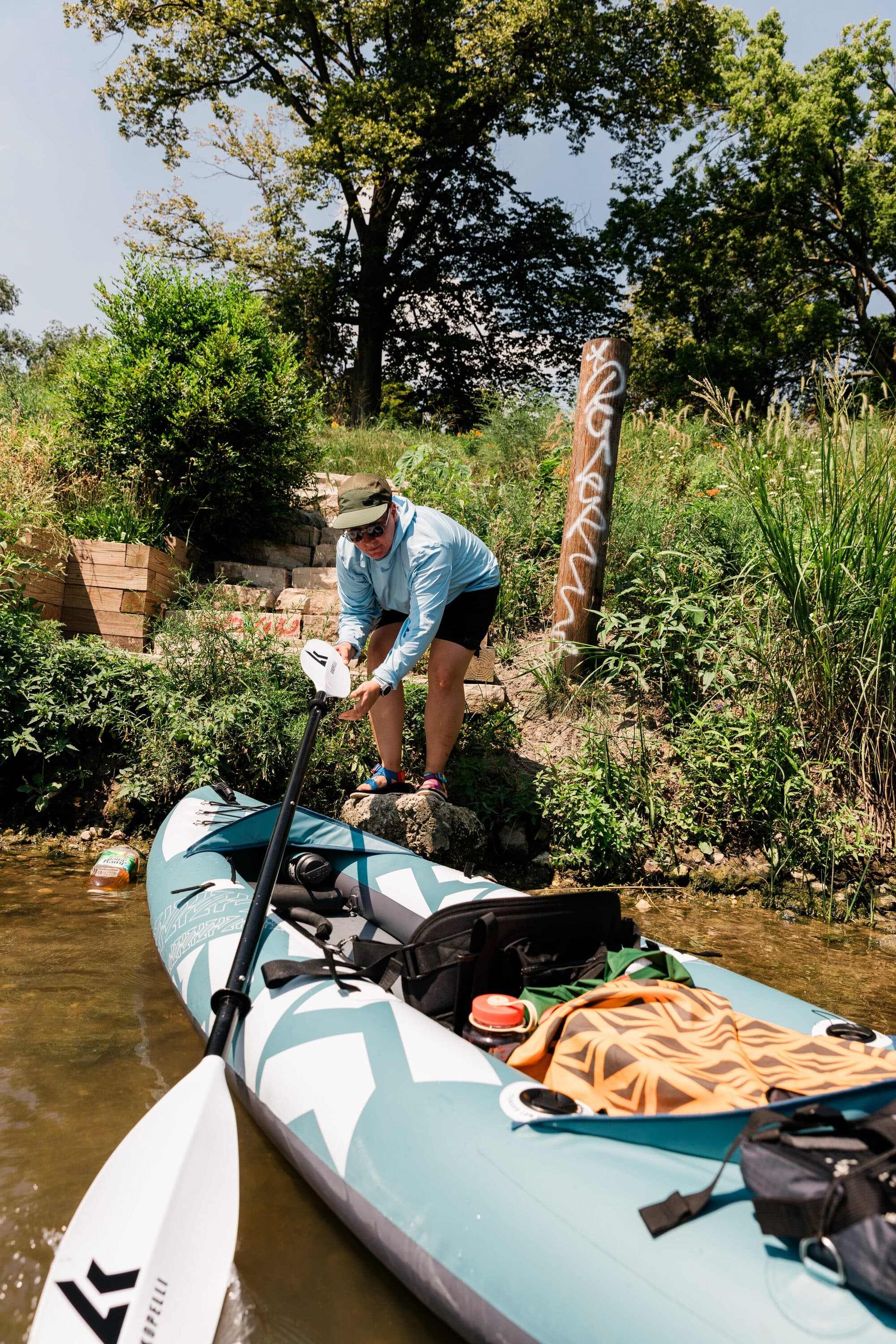
North Shore Channel · 6:47 AM
There's a particular silence that settles over a city river in the early morning — not the absence of sound, but a muffling of it, as if the water itself absorbs the noise of a waking metropolis.
The River's Story
Long before steel and glass, the river wound through prairie and wetland — home to the Potawatomi, the Miami, the Illinois. In 1900, engineers reversed its flow entirely, sending its waters toward the Mississippi instead of the lake.
Today, the river is coming back. Dams have come down. Floating gardens bloom where the water was once declared dead. And from a kayak, sitting inches above the surface, you hear it all.
Mile 2
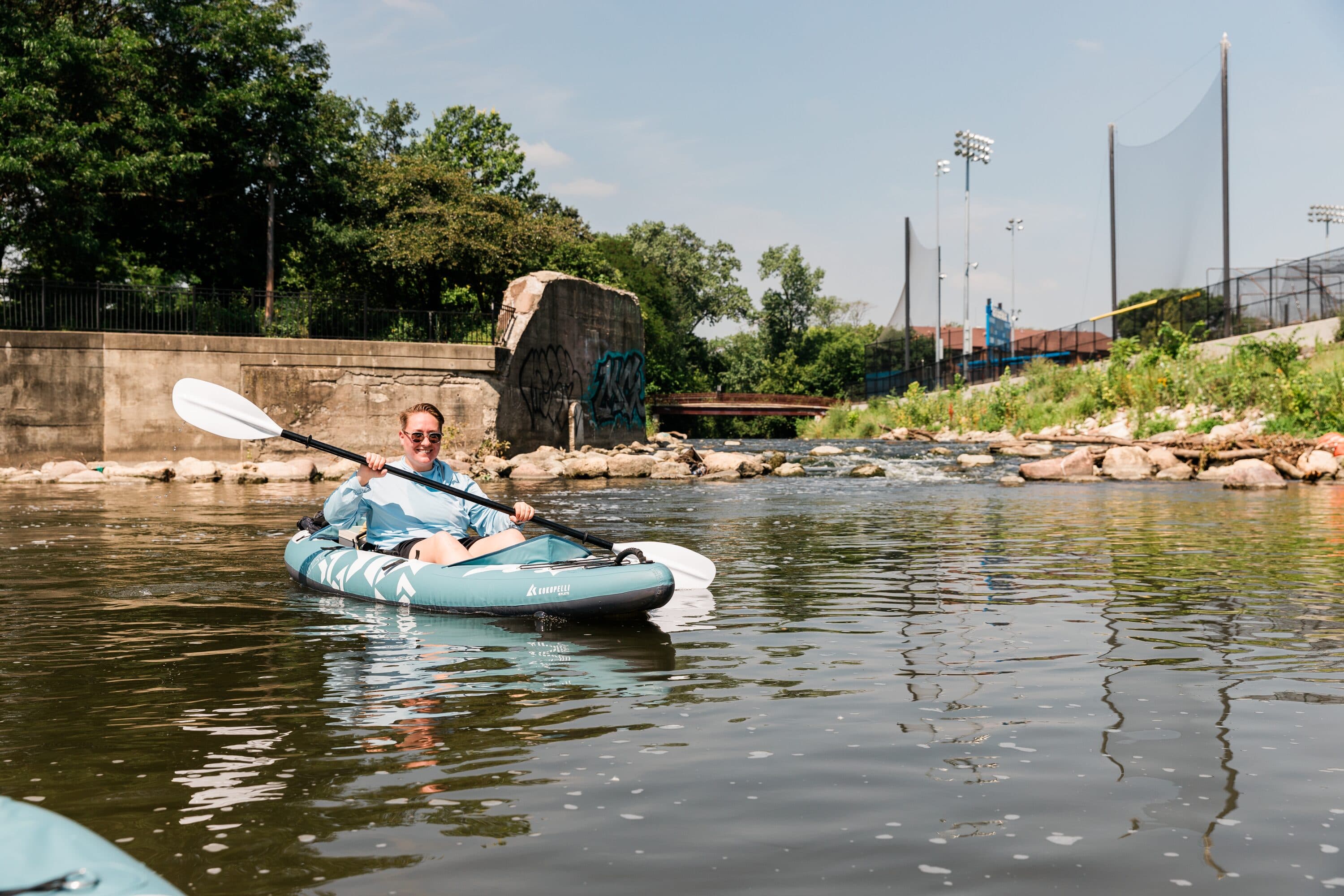
Into the Green
The North Branch narrows and overhanging branches form tunnels — ten degrees cooler in the shade.

Mile 2
Into the Green
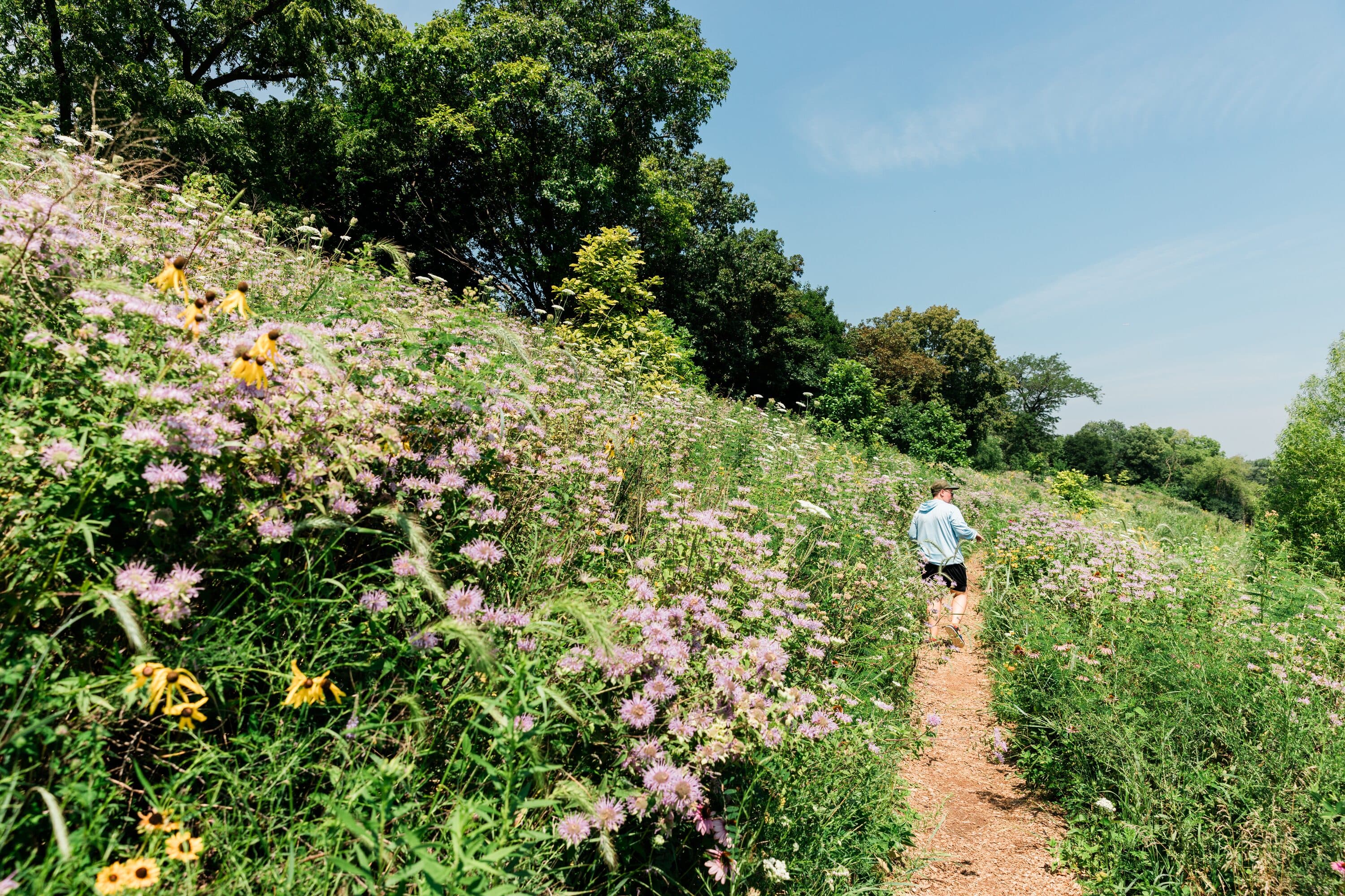
The North Branch narrows and overhanging branches form tunnels — ten degrees cooler in the shade. At Horner Park, purple coneflowers line the riverbank. Here, the river remembers what it was before concrete and steel.
North Branch, looking south
The green tunnel near Horner Park
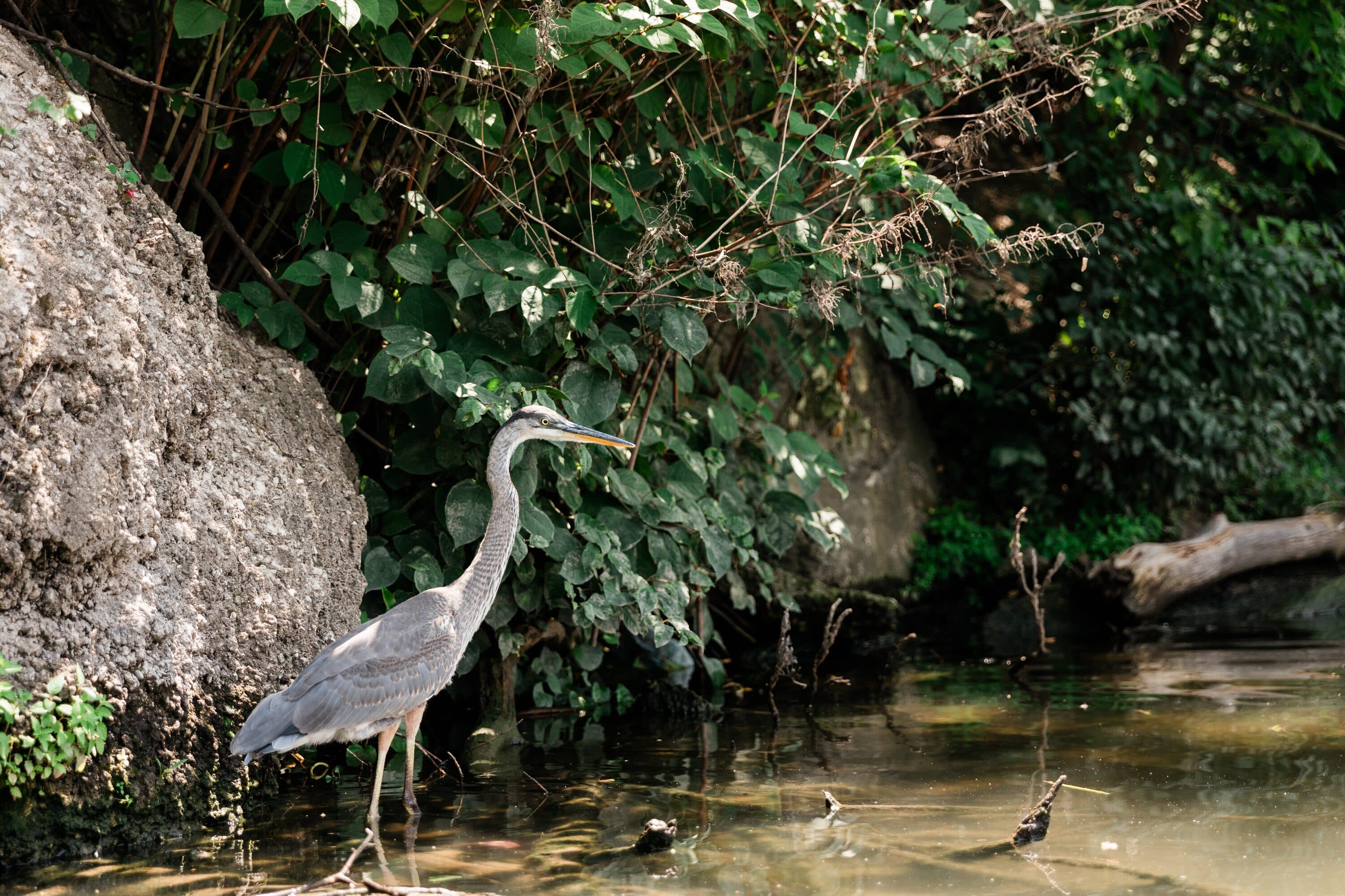
Juvenile black-crowned night heron
Wildflowers at Horner Park
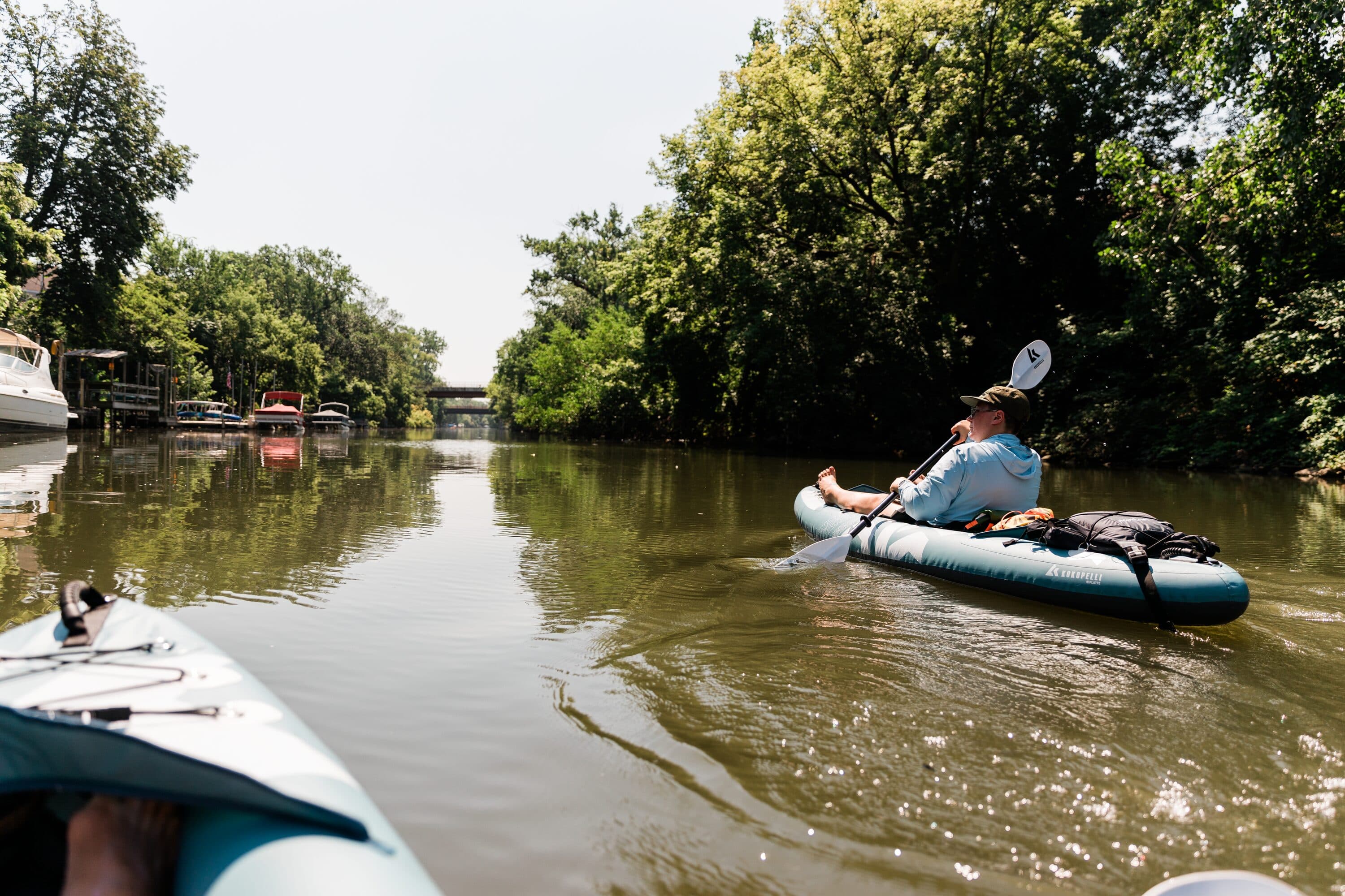
Mile 4
The Corridor
The green corridor ends without ceremony. Past Lincoln Yards, the trees thin and the banks harden to concrete. It's eerily quiet for how central we are to I-94. You feel the city before you see it — a shift in the air, a deepening of sound.
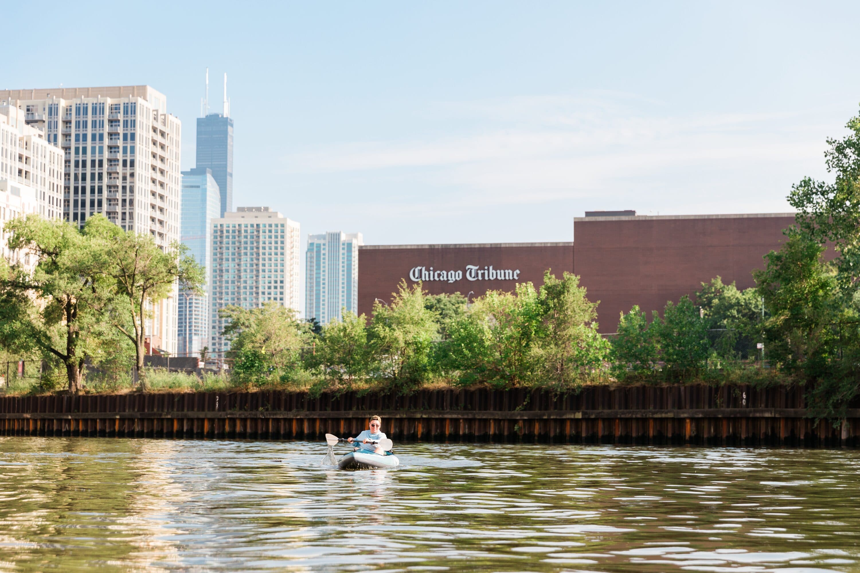
Loading docks sit silent on the east bank. A railroad bridge towers a hundred feet above. This is where the river's industrial past is most visible — rusted steel and the ghosts of factories that once drove the nation's economy.
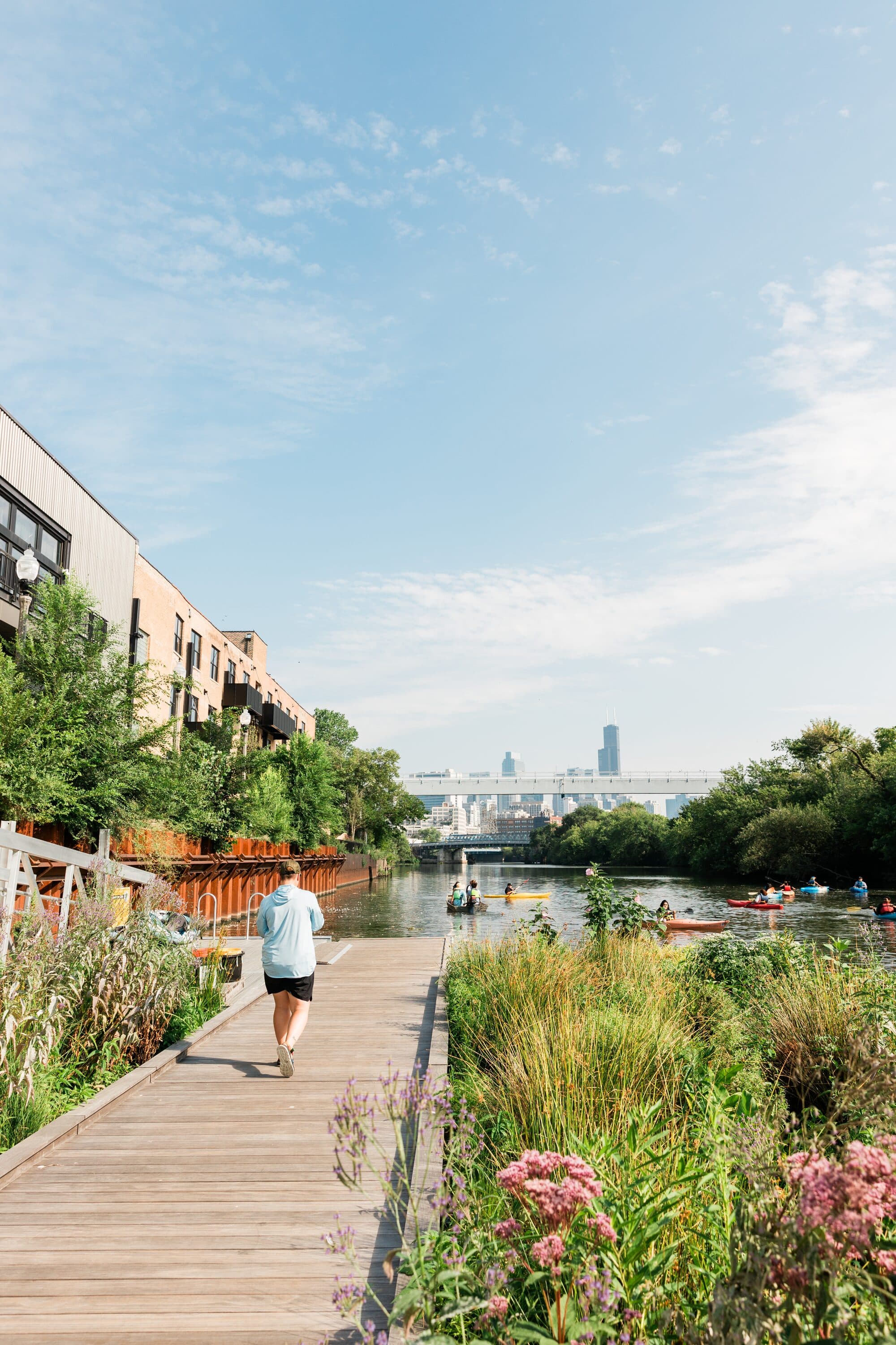
And yet, even here, there are signs of return. The Wild Mile's floating gardens mark where the river's newest chapter begins.
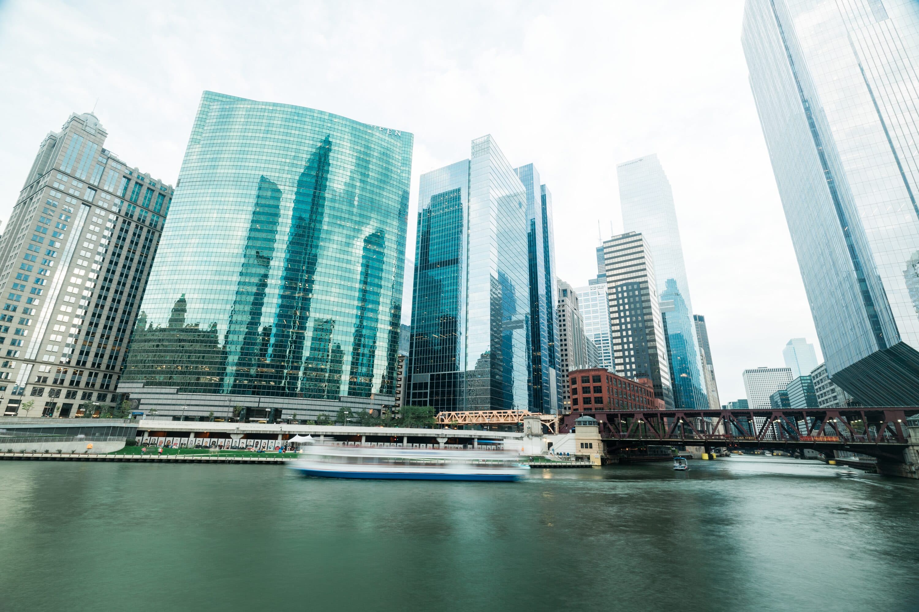
Mile 7
The City Closes In
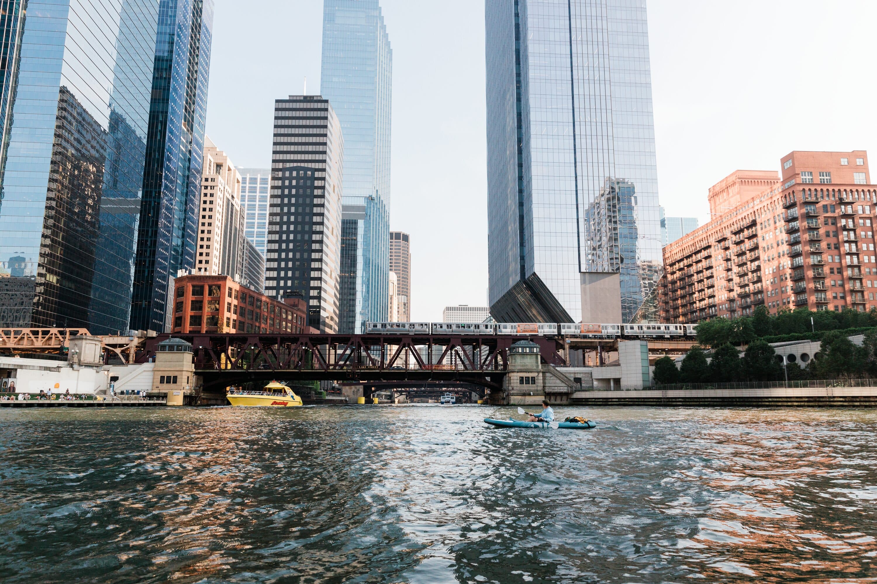
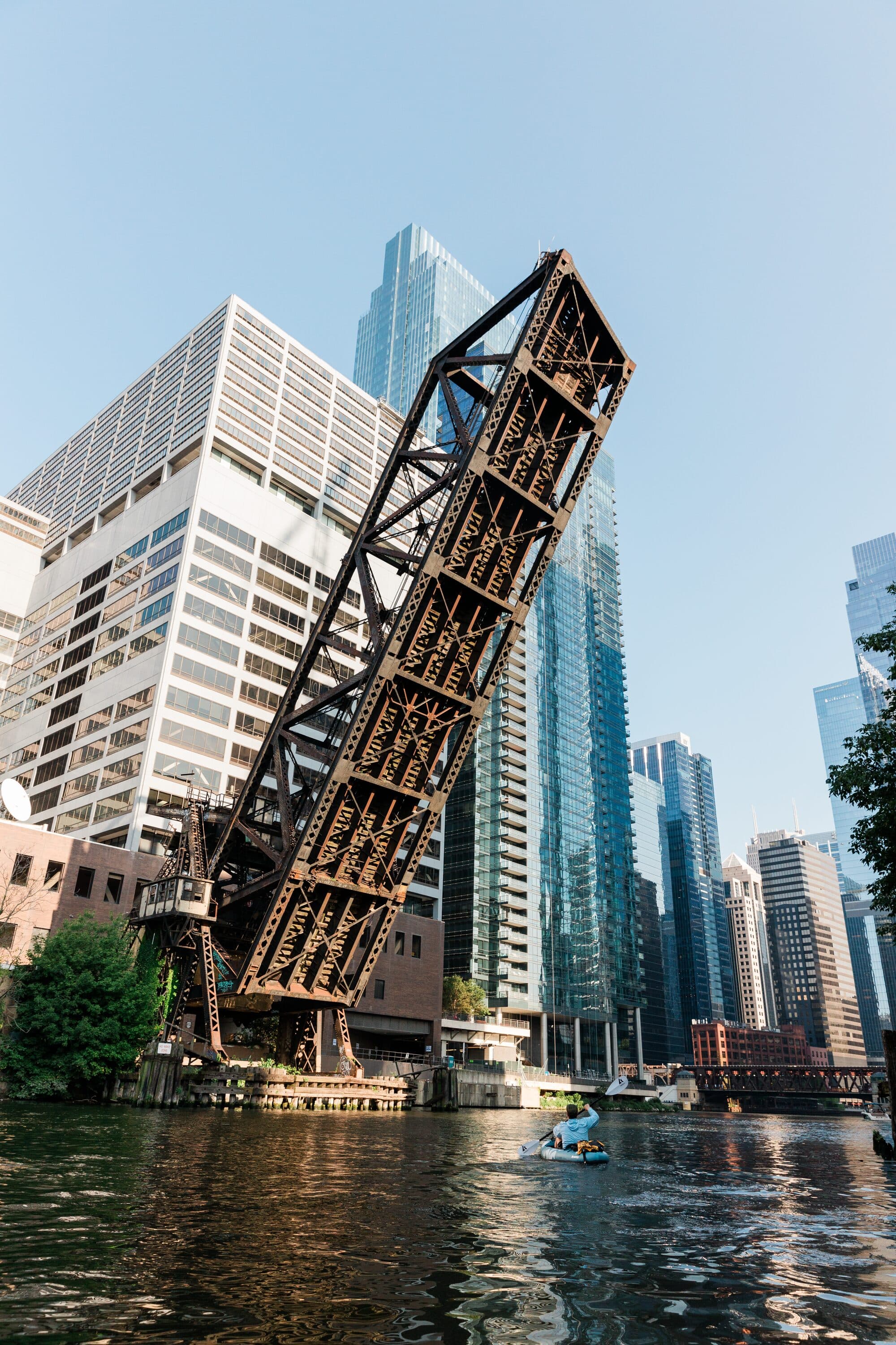
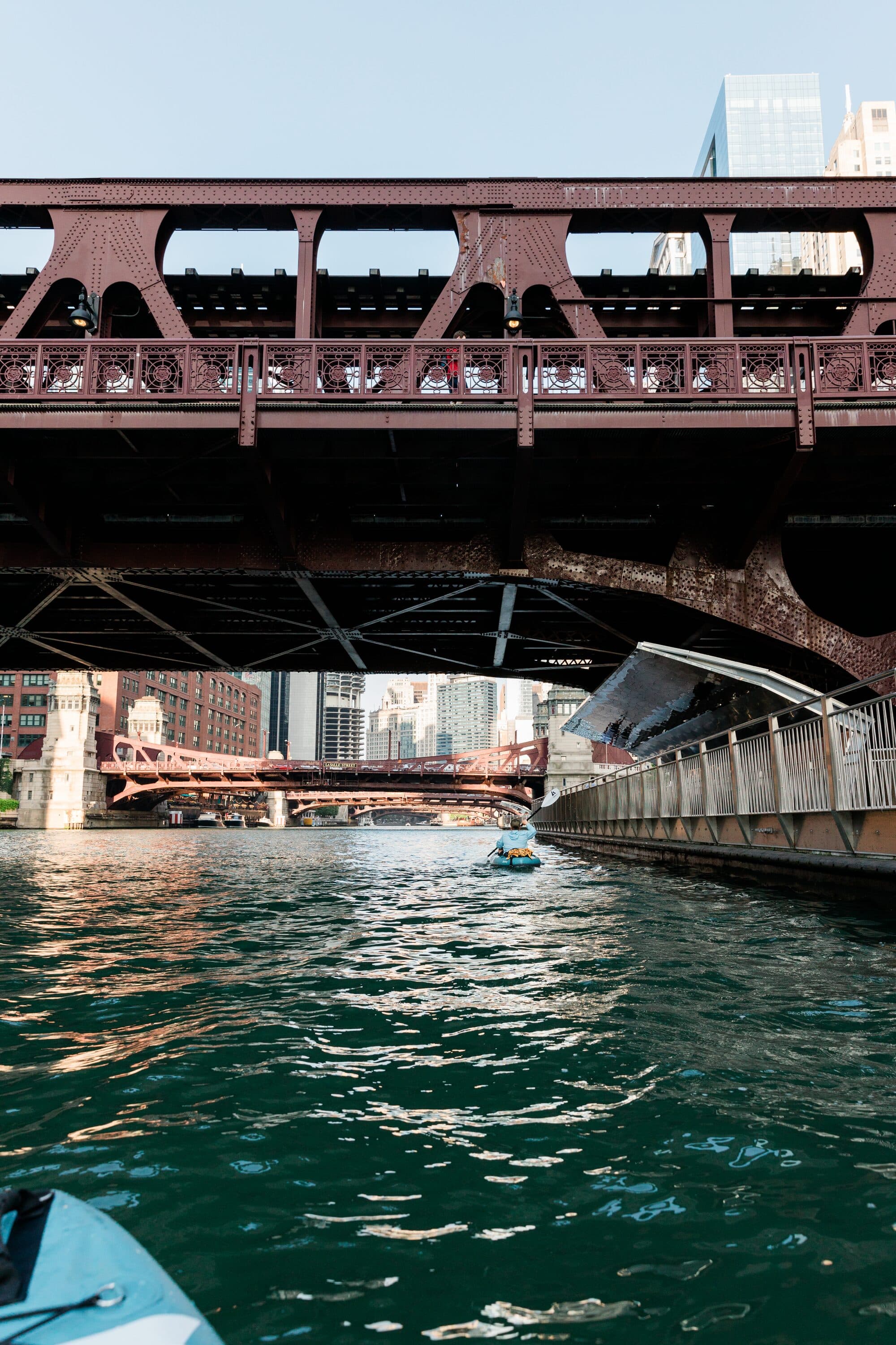
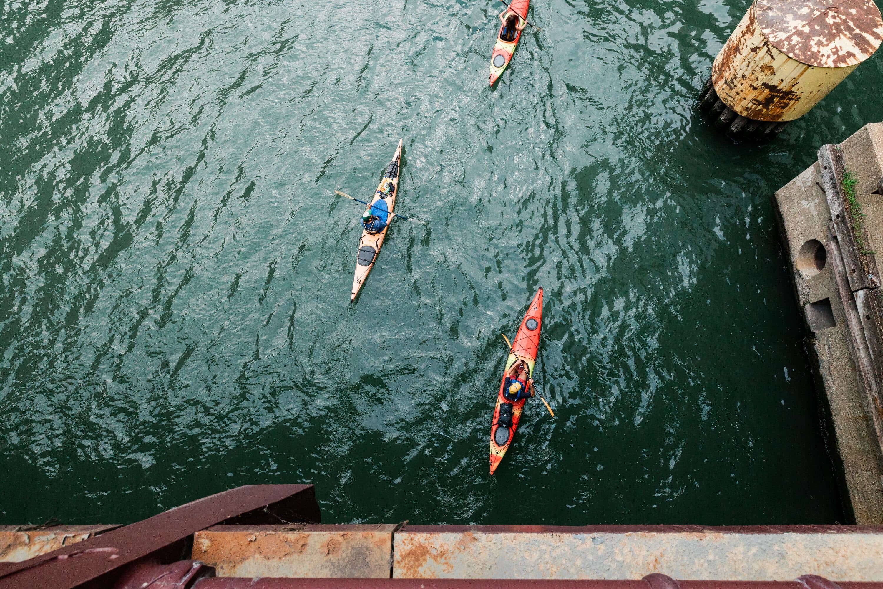
Past the Chicago & Northwestern Railway Bridge — a behemoth completed in 1908 — the buildings press in from both sides. At Wolf Point, where traders have gathered since the 1780s, the river's three branches converge. Tour boat wakes rock the kayak as each bridge announces a new chapter.
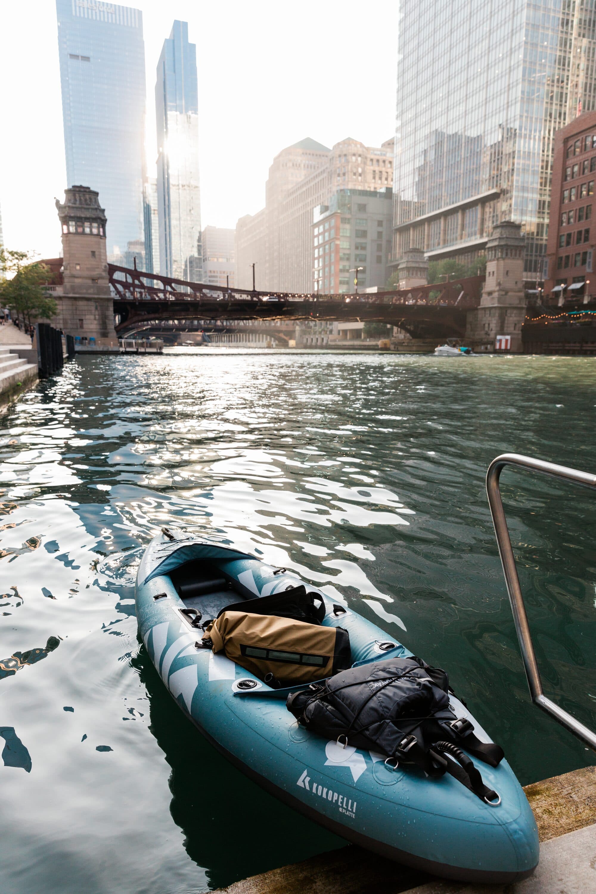
Mile 9 · Journey's End
The Summit
We hauled the kayaks up the cascading steps of the River Theater, nearly seven hours after pushing off from Lincoln Square. Riverwalk pedestrians eyed our overstuffed kayaks and rosy cheeks. Nine miles of river behind us — one last high-five.
The river doesn't belong to the city. The city belongs to the river.